


Fishing communities and coastal businesses in Guyana are set to benefit from improved seabed mapping, as the UK Hydrographic Office (UKHO) partners with Guyana’s Maritime Administration Department (MARAD) to strengthen the country’s capacity to survey and manage its waters.
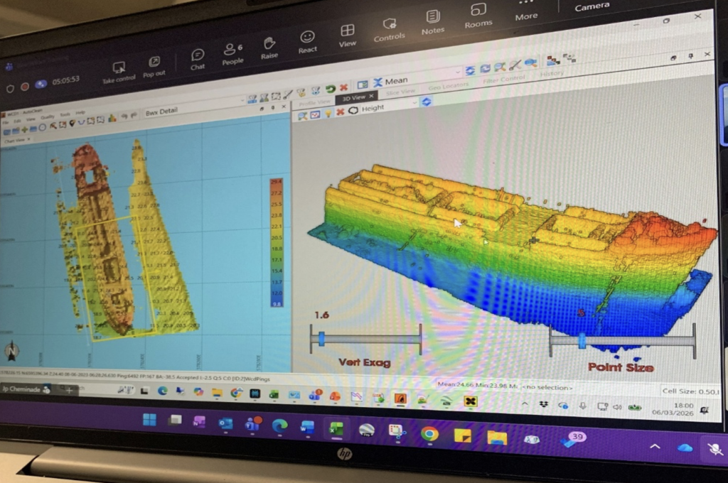
UKHO specialists are working directly alongside MARAD survey teams to share knowledge, transfer best practices, and calibrate the survey equipment on board Guyana’s new vessel, the Arau.
One staffer from MARAD received formal hydrographic training at a UK-based internationally accredited institution over a five-month period.
In a release statement, it was explained that the project builds on previous UK Government support delivered through the Commonwealth Marine Economies Programme, which helped Guyana supply hydrographic data to UKHO for update nautical charts for key maritime traffic routes.
Acting UK, High Commissioner to Guyana Liam McShane, said the UK is proud to work with Guyana to strengthen the country’s hydrographic capabilities.
“The UK is proud to work in partnership with Guyana to strengthen the country’s hydrographic capabilities. This initiative reflects our long-standing commitment to supporting coastal nations and Small Island Developing States in their efforts to build the skills, tools, and evidence needed to safeguard their marine spaces. This partnership will see investment in local capacity building and the transfer of expertise to Guyana’s Maritime Administration, thereby reinforcing their efforts to create the conditions for safer navigation, resilient coastal communities, and sustainable blue economic growth,” the Acting High Commissioner was quoted as saying.
According to the release, over 90% of Guyana’s population live along the coast and waterways, which underpin the country’s economy, it explains that the partnership will give Guyana sustainable access to high-quality seabed data — the foundation for safe maritime trade, fisheries management, and protecting coastal communities from climate change.
“The partnership between Guyana and the UKHO continues to deliver substantial benefits, as the Surveyors have benefited from continuous training opportunities, which have provided updated survey data and quality control to improve navigation safety, and, most importantly, enabled successful participation in the IHO Empowering Women in Hydrography,” Mr. Troy Clarke of the Maritime Administration noted.
This partnership also directly supports Guyana’s Low Carbon Development Strategy and contributes to the UK Government’s Plan for Change commitment to sustainable international development, protecting livelihoods, and building a resilient blue economy.


You must be logged in to post a comment Login